GenSan To Digos Bus Ride
An interesting twist of my return to Cebu from visiting Glan, Sarangani!
My original itinerary was: 1] take a van to GenSan, 2] stay overnight at Microtel by Wyndham - GenSan, 3] fly to Cebu at noon of the following day, connecting back to Tacloban - all were already pre-booked!
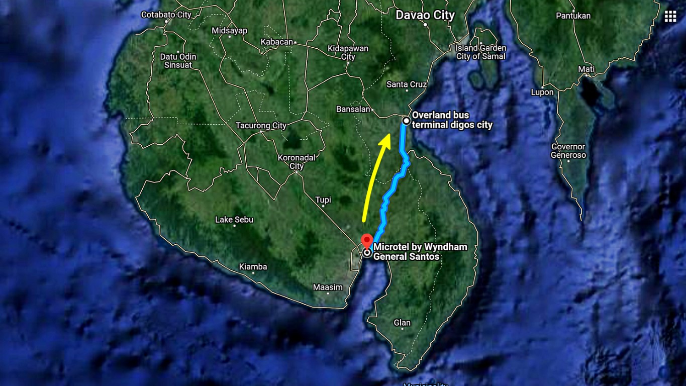
However, while at GenSan, because I saw a map, I had this crazy idea of "why not try the bus to Digos, then another bus to Davao before flying back to Cebu"? Hmn, why not chocnut? I browsed online sites, this meant rebooking all my flights to the next day (with penalties), but affordable, therefore Okay GO!
And here I go again with the usual First Question: Why Digos? Answer: Why not!
Besides, while I have been to Digos long ago, during that time, it was not even a city yet, there was no digital camera yet (I guess), and I can't seem to remember what I have seen in Digos then. And during that time, we approached Digos from Davao City via a leisurely drive. This time, I was commuting on a bus (air-conditioned sya, at least) from General Santos City, that, of course, I have not yet tried before!
Curious lang. Aha! I've read this somewhere: "curiosity is the first step on the road to knowledge". Da!
So here goes I, describing my bus ride from General Santos City to Digos City. Yeah!I (of course) knew there's a bus route from GenSan to Digos since they're both on mainland Mindanao (obvious ba?), but I had no idea where their bus station might be! Good that I asked the Microtel Front Desk Staff. They told me there's a nearby bus terminal only 300 meters to the right. How lucky of me!
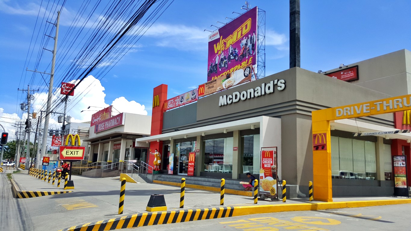
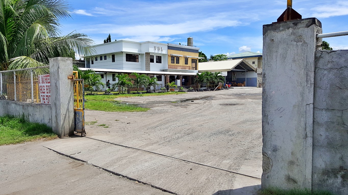
I wanted to walk from the hotel going there (it's just 300 meters), but hotel staff said it's not advisable on a noon time. Oo nga naman! They hailed a trike for me and they told the driver to bring me to "YBL".
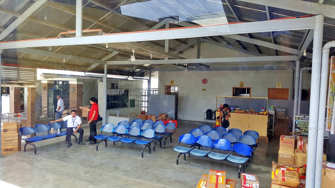
We passed by the many establishments in the area of Valley High to reach the bus station... That inside, is the bus station. The building is marked YBL which I think means Yellow Bus Lines. Took this picture while tricycle was entering that place. Why so? Because, this was new information for me!
Yes, new info for us roamers. Like at other cities, GenSan's bus terminals are not just in one place.Yep, it depends on the bus (company) and/or destination that you're going to take. Ah let's clarify that, we're talking about buses and this is not Bulaong Terminal. It's different too when riding vans or jeeps!
Hey, I even heard they're also constructing another bus terminal somewhere. Da! So, meanwhile, when taking a bus ride to anywhere, the best way for now is to ask - like I did by asking Microtel's front desk.
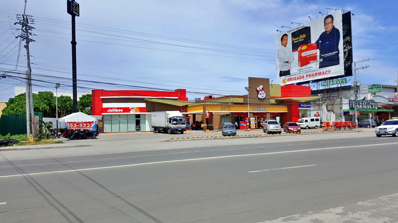
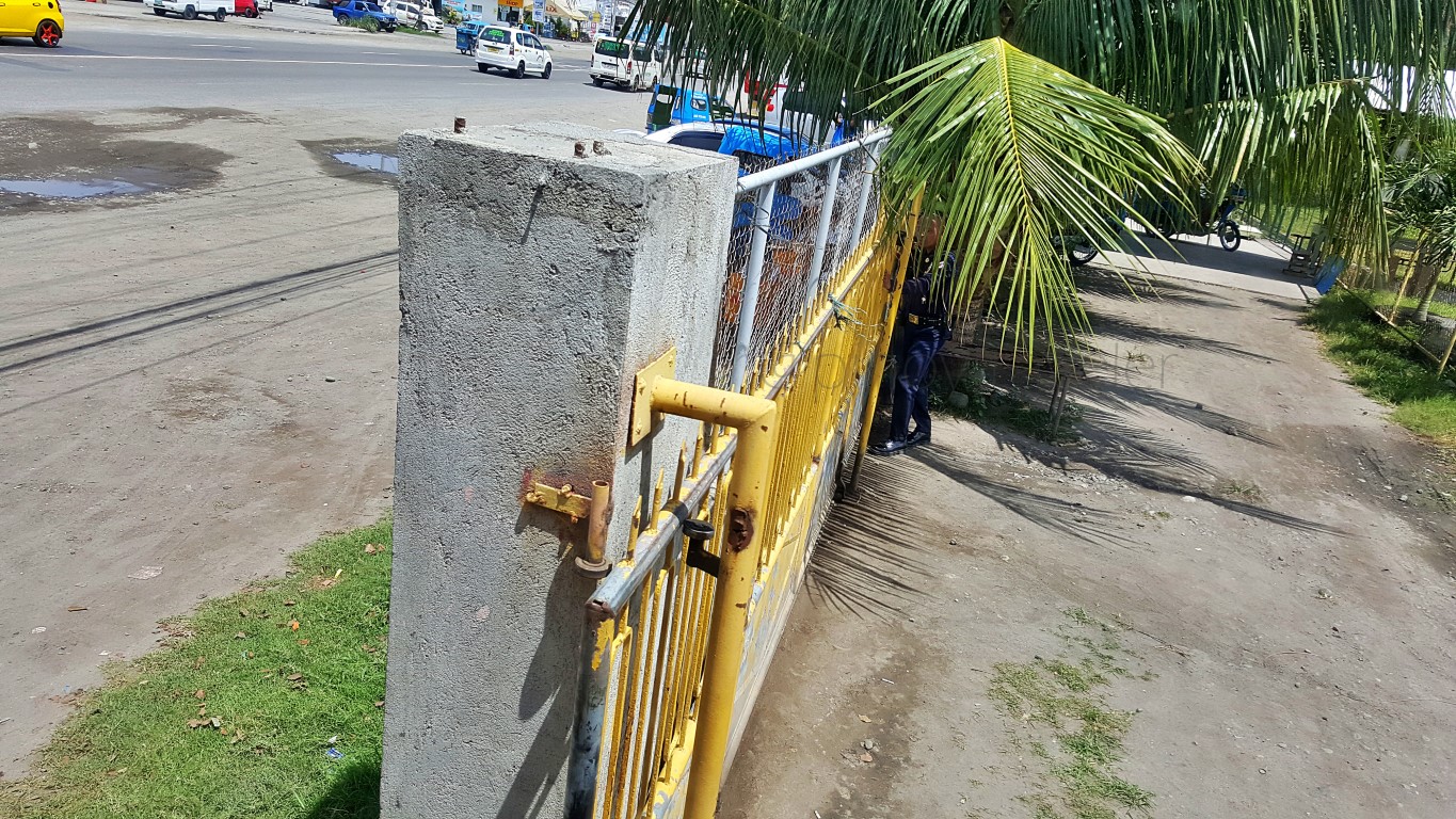
Here's another photo as my bus departed from the YBL Station. Note: this is by the national highway.I'm telling you this because, I myself was surprised, that there's this bus terminal, just near Microtel by Wyndham Hotel at Valley High, a bit far from their Bulaong Bus Terminal, so, no need to go downtown!
So we departed. Bus made a u-turn on the national highway, going north! Yep, it passes by G-Mall!Oh, we picked three persons from the side of this road, though I was not sure if they were passengers.
And then my eyes started growing wide. I was excited to see everything along the way. Like this:You know what those are? Tropicana bottled juice drinks! Yes, I wondered... "is that how they transfer those juice drinks here'? A corner of my brain said "ano pa nga ba, ayan kitangkita mo na eh"! Truckful!
Then the Lagao Public Market and Barter Trade Center. Do you know why it is interesting to me?The phrase or title that says "barter trade center" always titillates me and always invites a debate (just within my brain) why some folks or LGUs still use it when no one anymore does barter trading literally.
As every Pinoy would know (unless hindi ka nag-Grade 4, right?) "barter trading" is/was an indigenous form of exchange (of products and services) without using any 'medium of exchange' such as money.
That was the prevailing 'standard' or 'de rigeur' when our ancestors traded in the past. If done today, it would be something like 'eto tatlong kaban na bigas bigyan mo ako ng brand new na iPhone". Ganun!
Does that happen today? Maybe in the hinterlands! Does that happen at 'barter trade centers'? I doubt. It might even be illegal to do so, if our modern laws are applied/observed, right? Well, I am not sure of that, basta as far as I know, when I roamed the 'barter centers' of Zamboanga, lahat kelangan ng pera!
So, bakit ginagamit pa ang phrase na iyan? Arte lang? If anyone knows, please tell me.
Anyway, somewhere in that area, we stopped and our conductor had some transaction with this guy.I think he (that manong in a blue-and-yellow shirt) is the bus company's checker or inspector. Because I saw his left breast pocket had a YBL logo like that of the conductor's. If so, aba sosyal ang inspector nila dito ha? The bus really stops where he is, and we passengers waste time waiting for him to finish!
With other buses all over the country, an inspector hops aboard and does his thing while the bus goes on with the trip, right? With YBL, no. We wait as he checks. Well, at least we have a 'bagong kaalaman'!
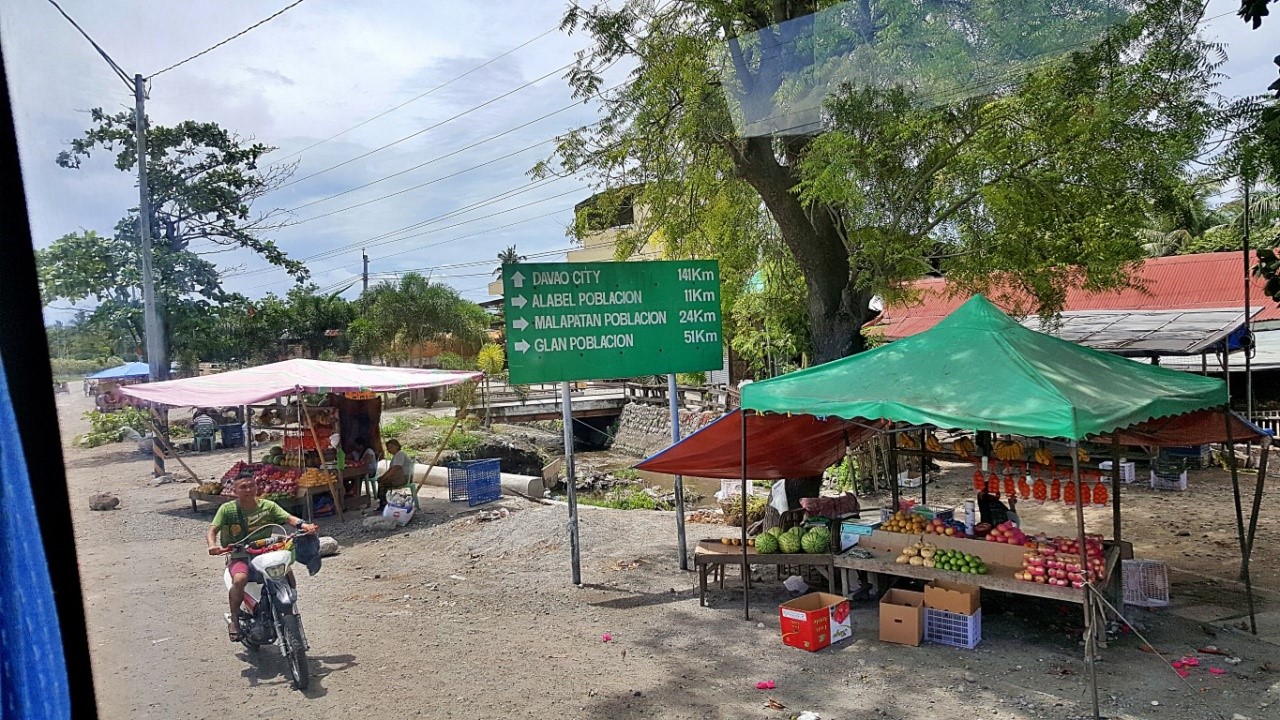
Anyway too, this was it, we were veering left on this highway to proceed north to Digos (and Davao)!To the right is where I went a few days ago, the Isla Jardin Del Mar Resort and Gumasa Beach in Glan!That is where I came from, yesterday afternoon, although I did not notice this corner, as it was raining!Beautiful good wide highway! Hmm, 4 lanes on each direction. Very characteristic of Mindanao roads.
This was still General Santos City but at this point our bus started to speed up probably because there was already less vehicle and human traffic. I saw a San Miguel Brewery but no pics! We were too fast!
I did catch a glimpse at this fairly new residential subdivision (VSM Estate) with cute little houses!I was telling my self that OMG, the city's suburbs is expanding towards this area that I remember were vast farmlands during my last visit. Then as we zoomed by, I saw signage that said UST-GenSan. Is it?
Well, judging from the lettering and the colors, I think it is what I thought it is. UST as in "uste"!
Not long after though, I again saw wide fields of coconuts intercropped with other cash crops!Of course I could still see vast tracts of land planted to palay (and corn), but the intercropping method (or is that called 'technique'?) is very admirably noticeable. I do not see much of these in Visayas, and even in Luzon. Reason probably why I was so impressed looking at them. Beautiful na, productive pa!
Like at the Sarangani towns, there are also very wide banana plantations, as far as the eyes can see.I could not help but make comparisons in my mind - it is easy to see that Mindanao lands are majority used, as in farmed, parang Luzon. In the Visayas, especially in my "iroy nga tuna" (Samar Island), there are still vast 'owned but untouched/unproductive' lands. Sabi nga sa Tagalog, "nakatiwangwang lang"!
I initially thought.., why is "coconut-banana intercropping" not usually done at plantations I see in Bicol and Samar, while out here in GenSan and Sarangani it seems 'standard'? It's not just productive, it also looks fantastic especially when the trees are fully grown. Then again, I also remembered, that Regions 5 and 8 are by the pacific coast - where typhoons usually breed and pass-by! Bananas won't last there!
Aren't I glad I keep traveling? By seeing things and comparing them to other places that I have already seen, without even asking experts, by simple analyses, I get to realize the quirks of many places. Aliw!
Imagine.., nag-suspetsa na ako, na mga tamad kaming mga Waray hahaha!
Oh! While I'm on this topic, I just recalled my PHI (college history), like CALABARZON and Zamboanga Peninsula, Northern Mindanao and Davao Regions are major coconut producers. Eh GenSan is nearby, so no wonder they also plant lots of coconut trees here! Ah, da bukonut nut is a giant nut, ready sing!
By the way, the top banana producing regions in the Philippines include Northern Mindanao, BARMM, Davao Region and SOCCSKSARGEN. No wonder I was going bananas cruising-by so many bananas!
Ituloy natin.., on this trip I also saw wide areas of corn plantations, and I was not surprised at all.Region 12, where my air-conditioned bus was on mismo, is the country's 3rd largest corn producer!
And it is always lovely to breeze by the green and gold colors of abundant rice fields, right?Also not surprising to me, since I know that SOCCSKSARGEN is the 4th rice-producer of the country!
Hah, I was really happy I decided to traverse via this countryside. This region is truly abundant!
Well, while Region 12 provinces are not in the top 10 landslide prone areas, they do have their share!As if to say they really do have everything that the Philippines has, ayan! Ayaw nila magpa-huli, oh ha?! Looking at that kind of soil, makes me think it's more dangerous a landslide. It's very porous like sand.
Anyway, after 50mins of generally ascending travel, we arrived at the town of Malungon, Sarangani.This is a big upland town on the northern edge of Sarangani province. I am not familiar with this town, though I know there are interesting things in and around here, such as indigenous tribes (that's plural).
The bus was speeding through, but with the municipal hall up on a little hill, I couldn't see much of it.All the more that I yearned, so I told my self: "I should come explore this place one of these days". Da, another addition to my bucket list of places to see in the Philippines! It is getting longer, but sige lang!
A quick peek on the web told me many more exciting places and events to see in Malungon. There's a village museum showcasing the life and traditional activities of a tribe, with cultural presentations. Oh they even have an annual celebration called Slang Festival. Whatever it is, it must be alluring to watch!
Hey I noticed, the roads here are good, but they're being spruced up further to become even better...Ah yes, like everywhere else with road widening projects, some of the big trees along the roadsides do get affected, as they are considered by engineers as "getting in the way". Let's hope those are properly transplanted to better locations, for them to thrive-on, and provide balance in our planet's ecosystem.
Glancing as we breezed through, it was easy to see that Malungon is a big progressive town. Look...Imagine that... Banate is just a barangay up in the hills, but it has a busy and bustling public market!
Look look... such a 'truckful' of fish wouldn't be up in this place if there wasn't a big demand for it!
But just a few meters past that busy barangay public market, the breathtaking highland views beckon.
As in the lowlands, coconuts, bananas, etc. dominate the scene, yet they have mango plantations too!
But as I said earlier, this scenic mountainous area has everything - including dangerous roads. Ingat!
Oh, along some parts of the highway, there are also "refreshments" sold by the roadside! Those in styropore boxes are bottled water, juices and softdrinks -all submerged in iced-water to keep them cold; the yellow thing hanging from the motorcycle is chicharon; those in the vendor's right hand are various snacks like peanuts (cooked with shell still on, fried with or without oil), even bibingka, etc!
Oist! Like at many places in this country, some stores have so many name signboards like this one:Dovie Jay Store has 3 signboards done by 3 brands. Ewan nalang kung di mo pa makita ang tindahan!
Alright, let's continue with the fascinating views as my bus descended onwards into Davao Del Sur... a Malalag is the town after crossing northwards at the boundary between Sarangani and Davao Del Sur. However, I only saw its panoramic mountain view as town center is far down at sea level (Davao Gulf).
In no time, we were already breezing by Sulop, Davao Del Sur. This is their overland transport terminal.This junction is a 'place of note' for us travelers. You see that road back there, behind the bus, going to the right edge of the photo? That is the Davao Del Sur Provincial Hiway going down to Malalag proper.
Just FYI, from Malalag, the same highway goes down to Sta. Maria (now of Davao Occidental), then to Malita, tracing the coast, passing all towns of this new province, down to Jose Abad Santos. It rounds the tip of the peninsula at Sarangani Strait, connecting to Glan, completing a circumferential highway!
Just curious and 'thinking out loud', I think Davao Del Sur Provincial Highway should (at the Sta. Maria area) become the Davao Occidental Provincial Highway, all the way down to Jose Abad Santos, where (at Glan) it connects as it does now, to the Sarangani-Davao Del Sur Highway. Ah eh.., nakikigulo lang!
Anyway, back to the picture above, the actual junction of Davao Del Sur Provincial Highway and Digos-Makar road is not seen, which is by a gas station after that brown roof on the left edge of that picture.
Well, I wasn't able to see much of Sulop as the bus was running very fast at "flying speed" hehe!
In a mere 5 minutes (still running very fast), we were already in the town of Padada, Davao Del Sur.So, just like Sulop, I also never got to see much of this town's poblacion or central area, especially that notable structures like their church, public market, plaza and municipal hall are at left side of the road.
Well, I got a glimpse of these two houses of prayer - the INC and LDS Churches of Padada.I find it interesting that they're beside each other. Don't any of them also have a lot of loud singing like at Catholic churches? If they do, won't they disturb each other? Hey I recall it's the same in Palo, Leyte.
Onwards, I saw this big wide school amidst mango trees, with an interestingly long and unique name.Full name is Carmelo C. Delos Cientos Sr. National Trade School. What a lengthy name to pronounce! And note that it is "delos cientos", also a unique name. It means "of the hundreds"! Whatever heheheh!
Just 2 minutes and we were in front of Guihing Central Elementary School in Hagonoy Davao Del Sur.Towns here are very near to each other. Hagonoy's poblacion though is still 8kms inland, to the west.
There is even this cute but perplexing 'nomenclature anomaly' in this area, the Padada Bridge...This bridge is very much inside the confines of the municipality of Hagonoy. It is about two kilometers away from the previous town (Padada) but for whose name it bears! Unless my googlemaps is wrong!
Anyway..,
The plantation above and below is part of Lapanday Agricultural & Development Corporation (LADC).It's a big banana exporting group of companies with more than 20 farms all over Mindanao. But this is their showcase farm - all of 594 hectares. Wow! That is about half the size of the whole Mandaluyong!
Trivia: there is an airstrip of about 1km long, inside that banana plantation!
Anyway, just moments after we passed that banana farm, my bus entered the City of Digos. Yehey!I saw signage that labels it as the "Digos City New Bus Terminal" though the driver and conuctor call it "Digos Overland Transport Terminal". Well, I guess the latter is its old name, thus, still easier to recall!
Final Note: I loved this trip because I took a bus. The views were better than if I rode a van!
Hey I roamed around a bit! But let's talk about that in my next entry.





Comments
Post a Comment