Glan To GenSan
Let's go back from Glan to General Santos City, but not yet home to Cebu. I was not done roaming!
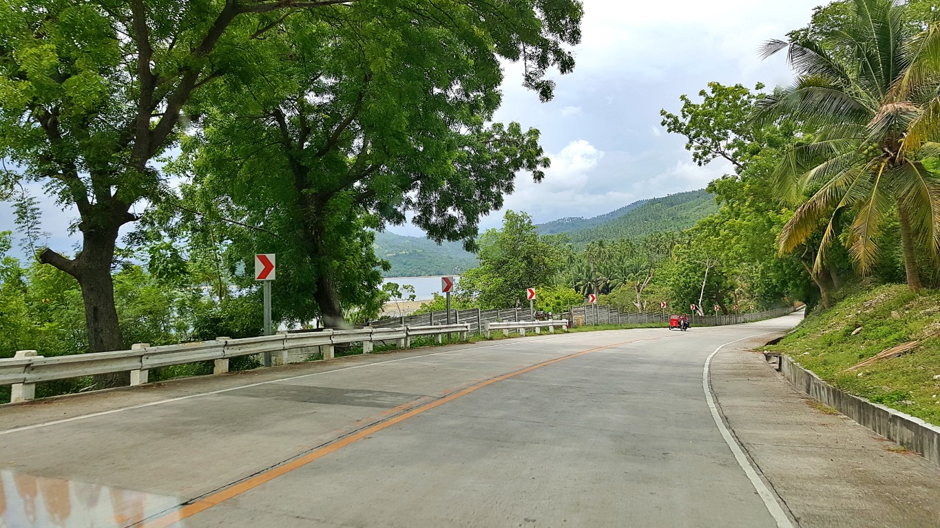
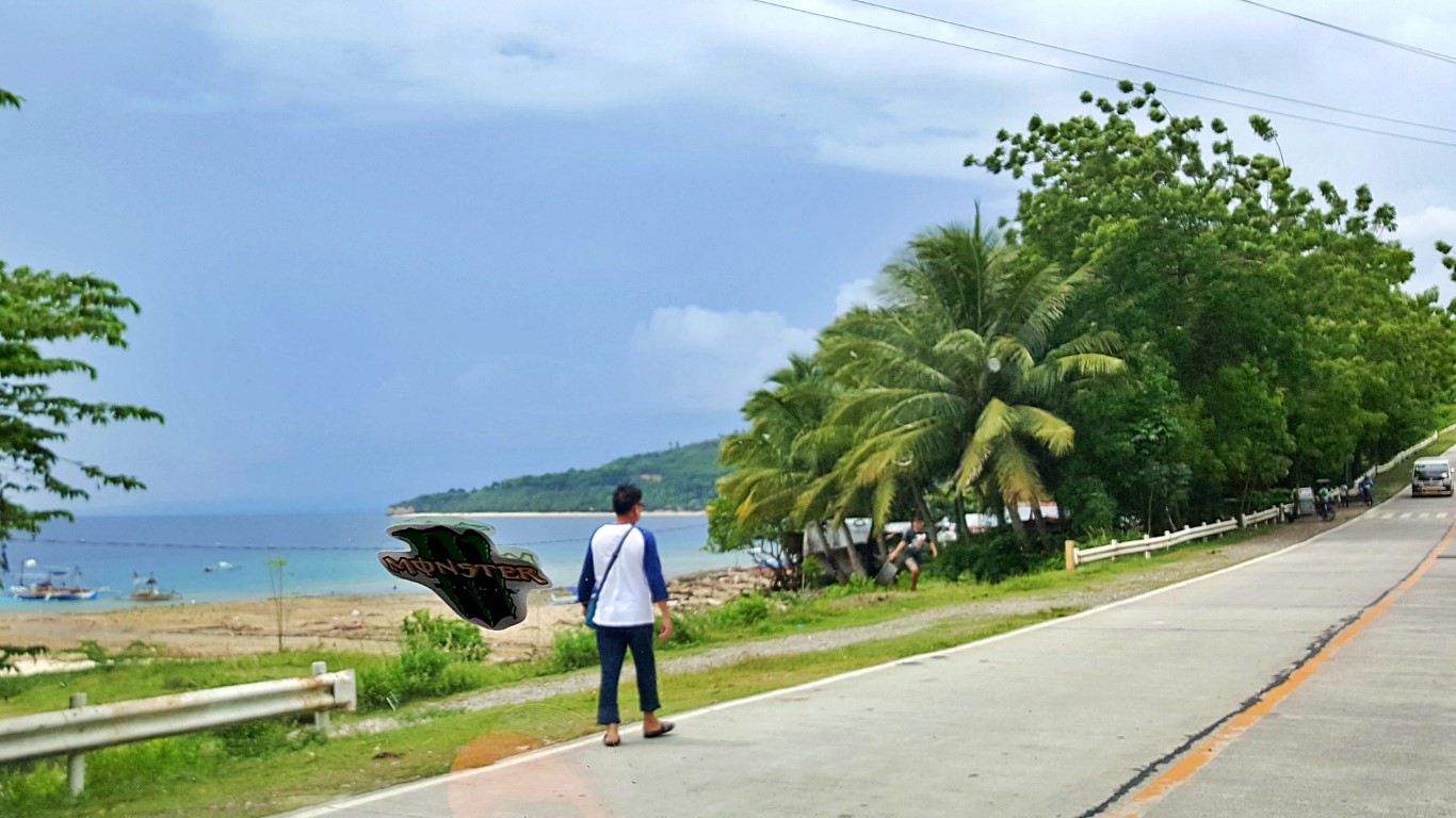
The picturesque Sarangani Bay is to the left on this route, but I could still see most of it at front seat.If you look closely at that pic, part of the creamy-white-sand beach can still be seen. It is a long coast.
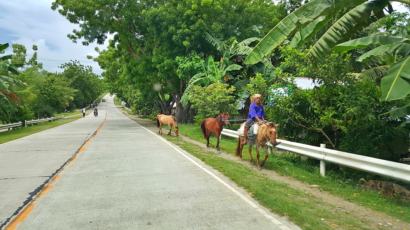
This is Sarangani-Davao Del Sur Coastal Road. Nice pavement, nice views, and, I saw horses again!
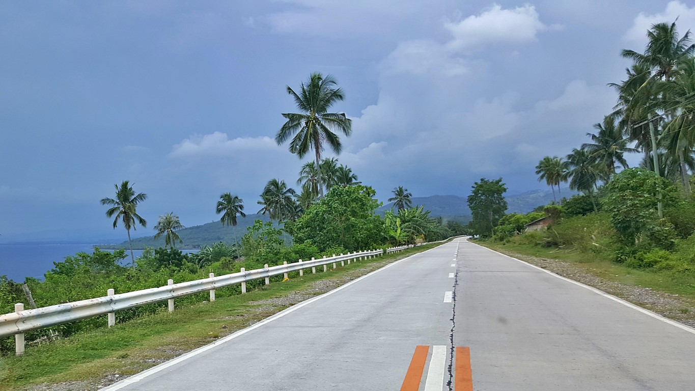
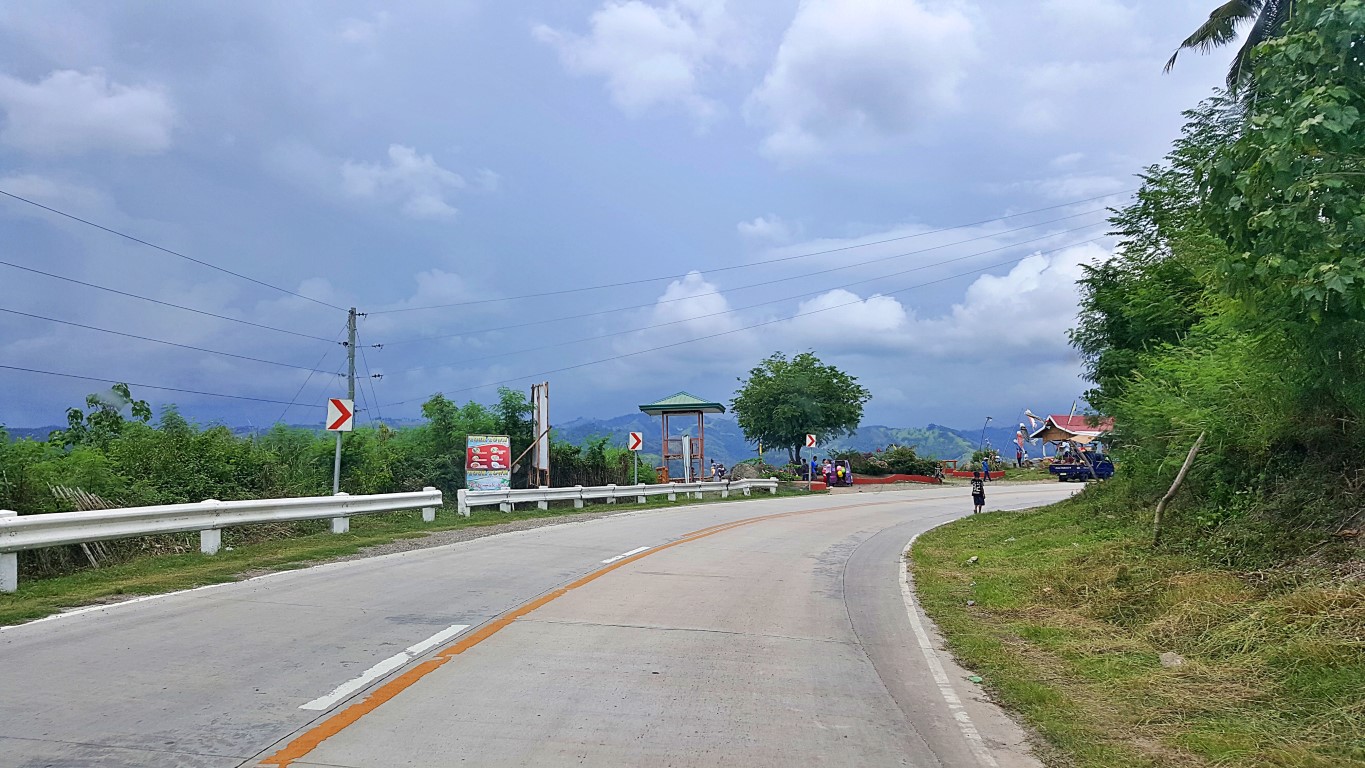
It suddenly became gloomy. Rain seemed to be about to ruin my day! Yet, the views were still grand...
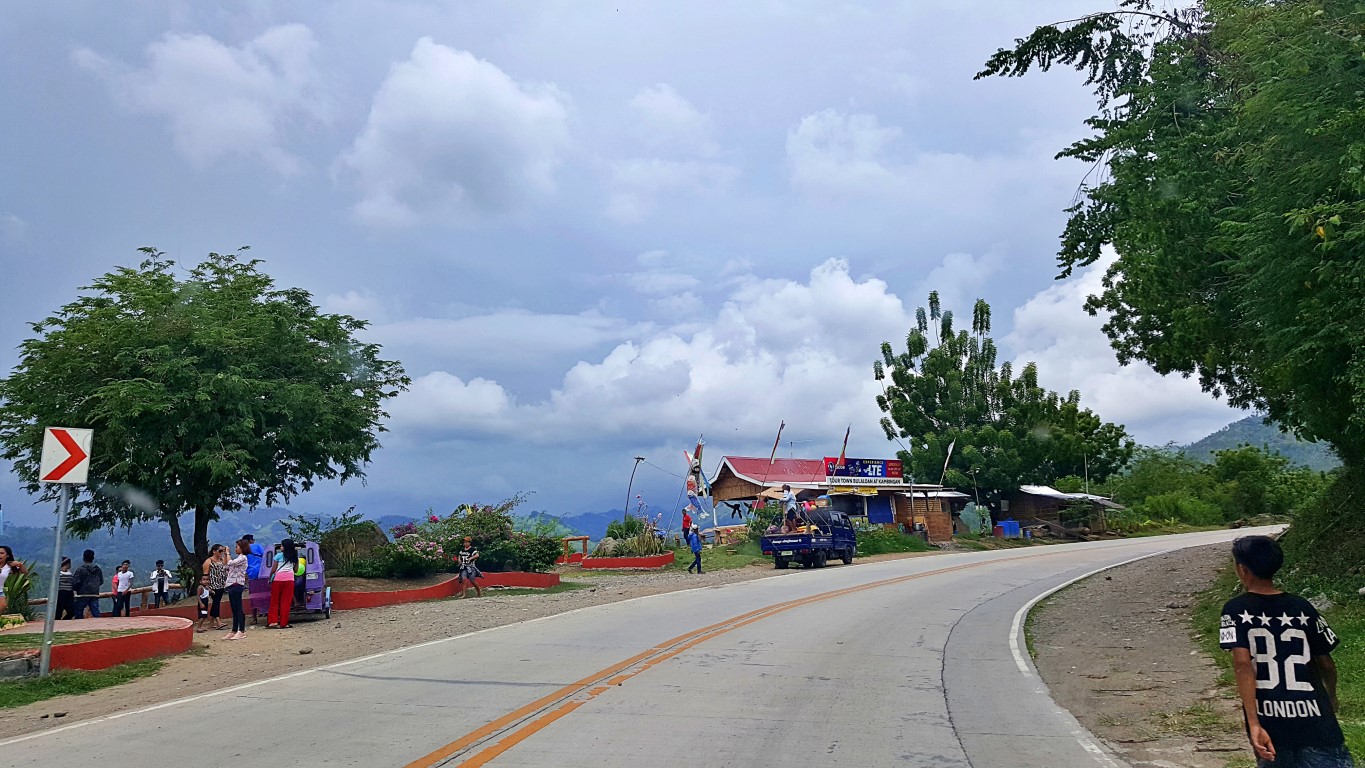
This strip of road between Glan and Malapatan is known to be a favorite viewing area for tourists...
That is why there are a scattering of tourist view points and this corner is most famous of them all...
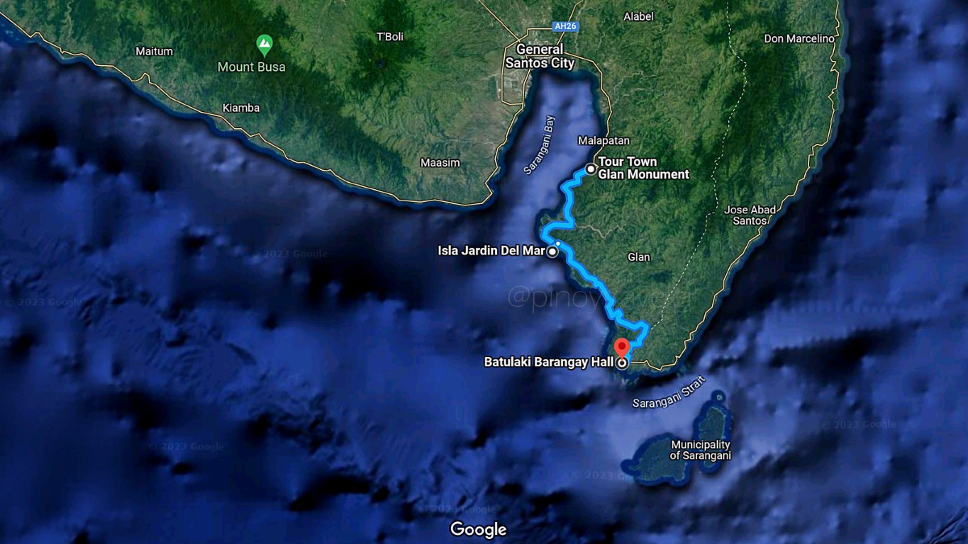
This is also the boundary between the towns of Glan and Malapatan.Note: this is the northernmost point of Glan. Its southernmost tip is at Brgy. Batulaki, that is about 70 kilometers to the southeast, in the southern tip of Mindanao, by Glan's boundary with the town of Jose Abad Santos, in Davao Occidental province. My Resort and Glan Poblacion is only halfway from there!
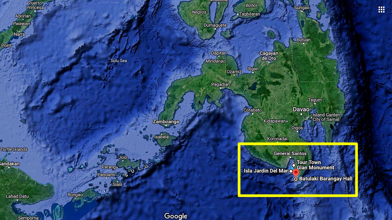
Here here.., look at this map, for you to appreciate where on earth I was coming from hahaha!
I was already at the Tour Town Glan View Point going to General Santos City from Isla Jardin Del Mar.Now let us be precise, I did not literally come from the southernmost tip of mainland Mindanao, right? Because that southernmost point is the red dot. Eh, I just came from Isla Jardin Del Mar Resort. But, I just wanted to illustrate to you, how big Glan is - 70 kilometers from north to south along the highway.
Oh, while we're in this topic, it should be timely to confuse you about the whereabouts of "Sarangani"! Since I arrived, I've been saying I went to Glan in Sarangani Province, right? Now, look at the bottom of the map. Ano yan? It says Municipality of Sarangani! Yet I said Glan is the southern end of Sarangani!
Naunsa na?!
Don't panic, there is an explanation! THAT town of Sarangani (it's actually Sarangani Islands) was part of Sarangani Province, until 2013 when the new (and controversial) province of Davao Occidental was created making Sarangani town a part of it and not anymore part of Sarangani Province! Basta ganun!
Hahaha, I remember it was such a polarizing issue among the debating peoples of Davao Del Sur and Sarangani provinces. Anyway, the law (sponsored by Bongbong) was signed by Noynoy! So yun, done!
It is now part of the many intiguingly interesting facts about our many islands!
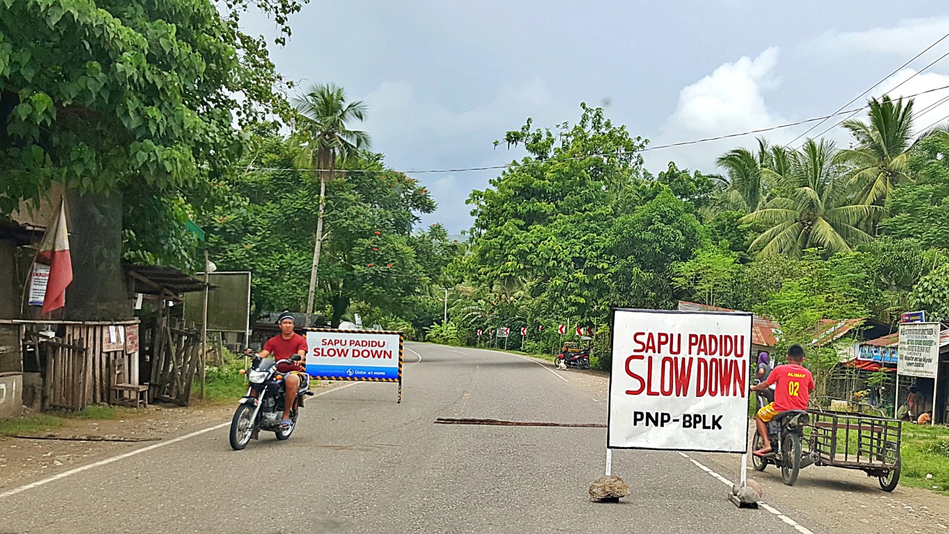
Let us go back to my trip from Glan to GenSan anyway. We stopped at that picture up there! After the view deck, the town then becomes Malapatan, at Barangay Sapu Padidu. I find the name kind of cute!After (above) Brgy. Sapu Padidu is Brgy. Sapu Masla. Hmm, I wonder what those names mean? Those are probably of B'laan in origin since (I read somewhere) that "Malapatan" comes from 2 B'laan words: mala [pepper] + fatan [place] - so it's a pepper place. There are also Brgys. Lun Padidu and Lun Masla!
I wonder what those names mean. It would be nice to know. Anyone, please tell me!
In fact, I also heard, that Malapatan is a confluence of many cultures, languages and religions, that is why they have one of the most colorful festivals in Mindanao (Pakaradyan) which I think just finished.
Ahh, my 'bucket list' is getting longer! But sige lang, sige pa!
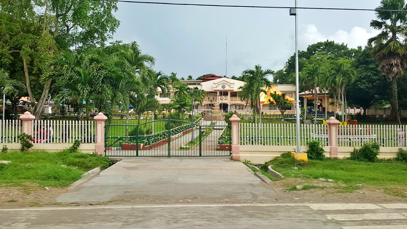
Here is a literal snap of Malapatan's Municipal Hall - as my van went speeding by the town...It's big, wide and fairly new. I'm sure there'll be many things worth taking a photo of in that compound!
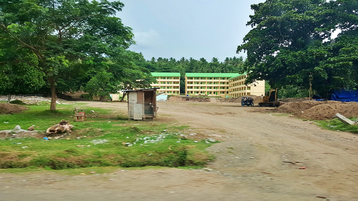
Many things are new, some are even still undergoing construction, like this national high school...
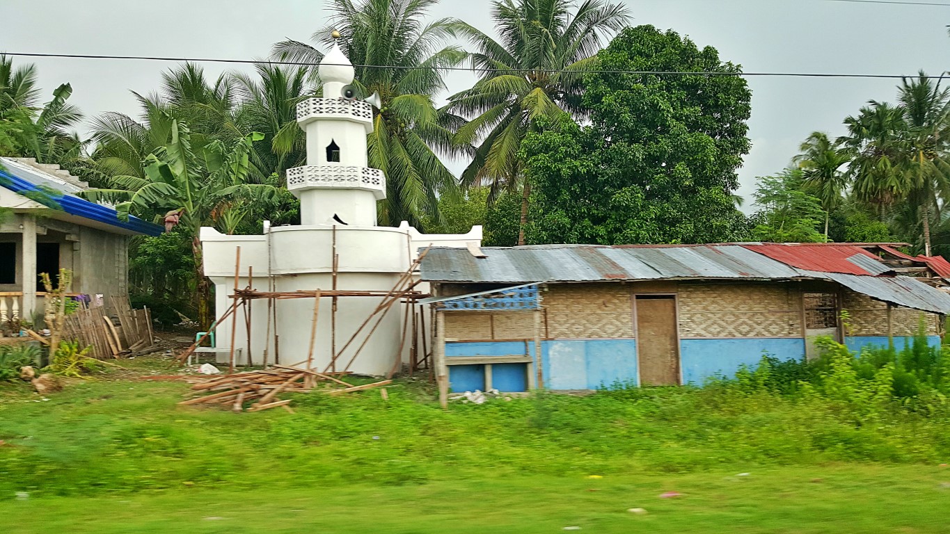
I expected to see more masjids in this area, but I was wrong. There are just a few and they're small.Well, I did not read up beforehand. When I checked (just now), I learned the province is only 9% Islam.
Entering the town of Alabel (exiting Malapatan) my nemesis so selfishly came... Yes, ang ulan :(I just silently said "how KJ"... just when I was planning of getting off at the capitol area to take a stroll.
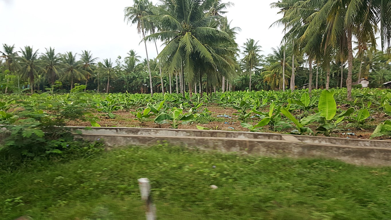
Anyway, I liked looking at the many roadside "intercropped" farms. It's an extensive practice here...
And I observed, most crops are bananas and coconuts in alternating rows as far as the eyes can see!
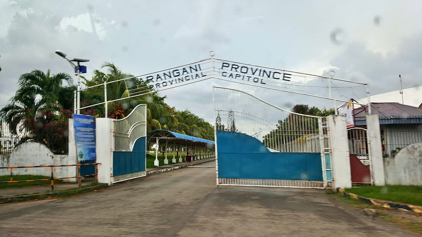
And when we passed by this gate, driver asked "ano sir, bababa ka dito"? I said "Hindi na lang". Hmp!
So I arrived at General Santos City proper... reluctantly!
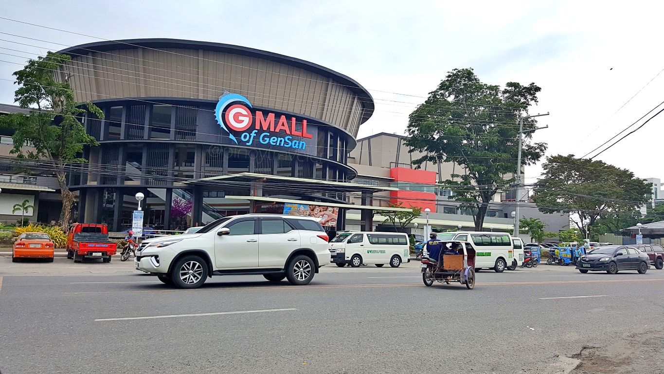
I wanted to walk from KCC Mall to my hotel but it was drizzling, so I took a tricycle passing this way.
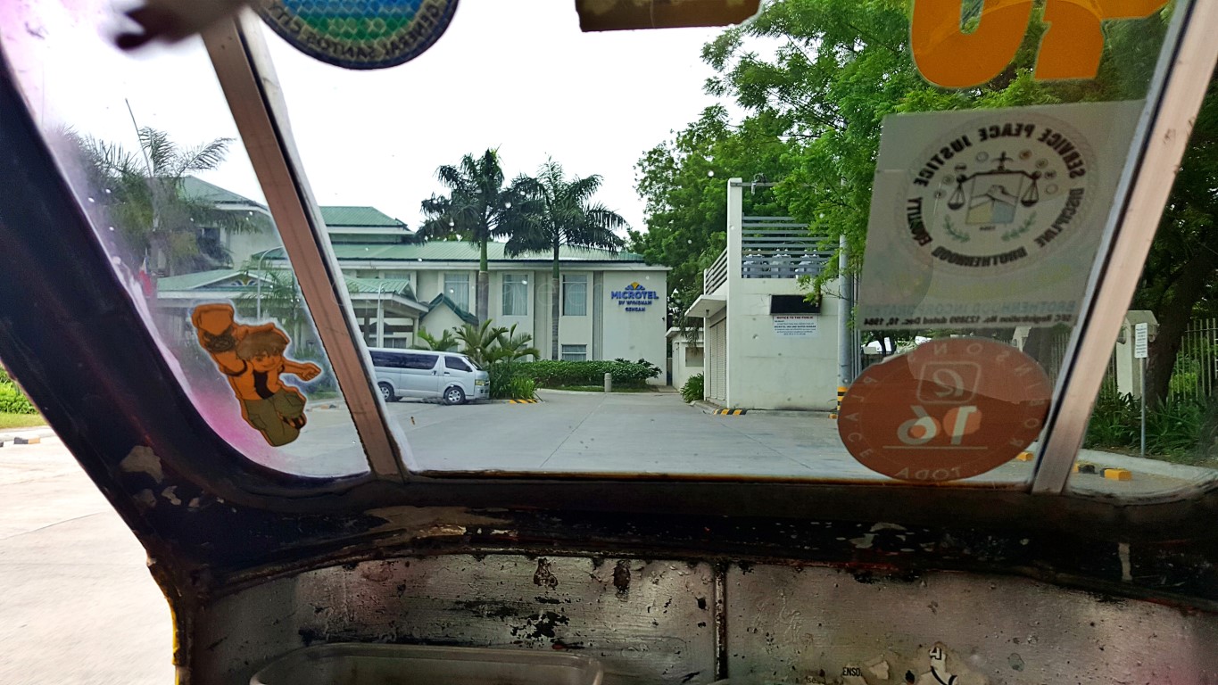
Exactly 1:57PM, I said "ano naman ang gagawin ko dito eh ang aga-aga pa"! Trike driver said "ha"?
Well, okay then, I got off the tricycle to check-in, but I was thinking: "punta kaya ako ng SM" hahaha!
Let's see what happens next!



Comments
Post a Comment