Catarman To Allen Joyride
On the road again, on a lovely bright morning! Yehey! This time I was on an easy run from Catarman for an 8AM meeting at Allen - the north-western edge of Samar Island.
We knew it takes about an hour (50kms?) but we left early at 6AM, so we'd have enough time for the morning traffic (kids going to school) as many schools are by the highway. Then, still ample time for a hot 'tinola' breakfast at Allen, and be cool until the meeting!
We opted to pass by the (fairly) new road at the end of the runway, instead of the usual (a street that crosses it), as we knew the PAL flight to Manila departs at about a few minutes before 7AM - where that street would be temporarily closed to land vehicles.
Nice plan. All set. And here we go!
Let's start with this corner going out of Catarman towards the west..Going straight is back to where we came from yesterday - Lope De vega, and onwards to Calbayog if you like. While my route today goes rightwards to the end of runway 22 (or start of runway 04 if you like), then onwards to Bobon and other towns down to Allen!
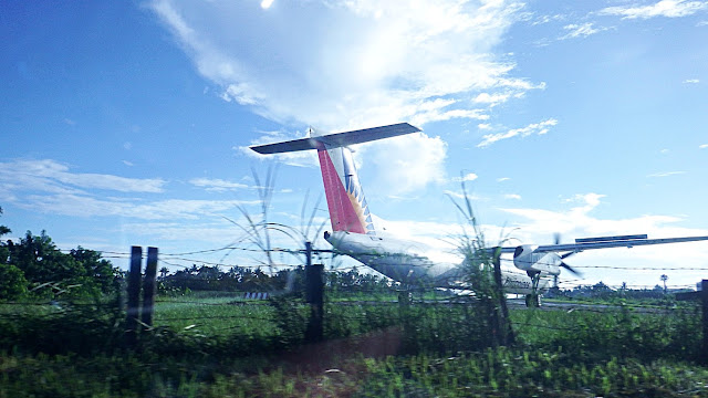
There, it is about to take off!Just as I said above, just as we planned... if we went via the street that crosses the runway, it would have been closed by now and we'd be stuck in traffic until that runway is re-opened, which will be minutes after this thing is in the air! It takes time - as a rule.
See?! We just passed by, without having to stop...And we even got a view of this PAL flight revving up and ready to take-off. Maingay ha?!
Aliw! Road trip na, me plane-spotting pa!
Then it was time for us to take off on this very nice road...This is also a national road, the coastal artery linking many towns of Northern Samar.
In just about 8 minutes were were already approaching the next town...A fork intersection (Y junction): right is to Bobon town proper, while left is the faster way to the next town. Ah, those are students and workers crammed unto that jeep heading to start their day at school or work in Catarman. The university is on the east side of town.
Nice scenic highway in the mornings...And those signs displaying the distances to various places in the region are very helpful.
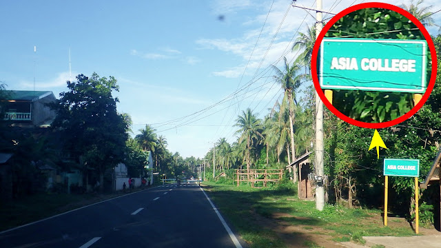
Those green signage (by DPWH) are not only for municipal destinations and distances. In this province (at least) they also do it for schools, bridges, including even the barangays.Where is that Asia College anyway? Ah maybe on the left as I see a building behind the trees! I like that name "Asia College" btw! Pang-"international" ang tunog! Parang UA&P!
I think "Asia College" is even a privately-owned educational institution. The full name is Asia College of Advance Studies in Arts, Sciences and Technology, Inc. What a long name!
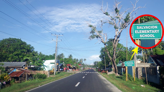
Here's another school sign... It says Salvacion Elementary School... but where is it?I can't even make out as to where that might be. Ah, maybe to the right of the zebra line.
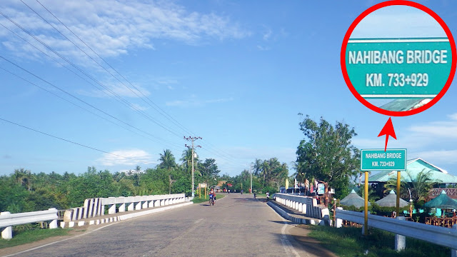
Oh, this bridge name made me laugh - but even my driver did not understand why!Nahibang may sound funny to Tagalog speakers as we all know what "hibang" means in Tagalog, right? Mga hibang! A funny bridge name too for Eastern / Northern Samareños.
In Eastern Samar and many parts of Northern Samar, "hibang" means broken (well, sira nga in Tagalog!) but more attributed to things such as "ruined", "defective", "damaged". Still in Waray, "hibang" may also mean "injure", "fracture", or "cripple" relating to people!
So, Nahibang an tulay? Kelan maaayos?!
By the way, I wasn't able to take a picture as we were running fast, but right beside this bridge is a big resort (name is fishville, I think). Some cottages are visible on that photo.
Here's another example of those roadside signage done by DPWH...Those are still barangays (of Bobon). Don't be confused and think you are already lost!
Here's an unclear picture (the sun was too bright), but I opted to post just the same...Just a reminder to self (and some of you my dear readers) that that is the entrance to Somoray Park & Resort, a nice inland resort, I hear. Hoping I can visit one of these days.
Here's another one I saw, and this one is on the sea side, therefore beach resort!Its a bit far from the road and we were running fast, so I could not tell if that one is new and in the making or old and dilapidating hehe. "Ocean Lodge" is painted on the gate.
Welcome to... can you read it? Hahaha, let me read it for you... it says: San Jose!Mind you, it's not only the paint that is fading, the finishing itself (its a layer of cement) is already chipping off. That's dangerous. If you happen to be passing by... goodbye ka!
So we were already in the town of San Jose, and this chapel was half of a puzzle!Why "half of a puzzle"? Because not even 50 meters before this, on the right, is another chapel. Both are catholic chapels (meron santo eh) in Barangay Aguadahan, San Jose.
How does that happen? Are there no rules on erecting such edifices? Weird!
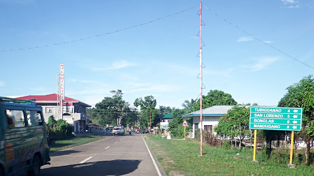
Anyway, moving on, I get information that we were 8 kilometers to the next town...I really like reading these informative signboards. It keeps me away from asking "are we there yet?" or "where are we now?" without going online to check waze or googlemaps!
Here's more... all are barangays in the town of San Jose, Northern Samar...Sana all 'no?! If it can be done in this province, it should be possible all over the country.
Unlike what I saw in Leyte... remember this? The way to Bukid Elementary School?
Still in San Jose, we reached the Dao Bridge, with this fantastic view...Those islands in the distance are mangrove forests that protect this shoreline from the pacific ocean - reason why the water is so placid. There are "white islets" out there too!
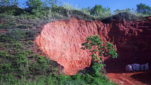
And then I saw this... a 'small time quarry' area - people get earth to be sold elsewhere...A common sight in this province, even as far back as the Calbayog City area. I once asked about this, and I was told "they own the land and have permits from the authorities". But my point is, do they have permits from "mother earth"? Disasters awaiting to happen!
Anyway, here I was arriving at the next town... Municipality of Rosario...Just like in the previous towns, another Y-Junction. Proceeding right is to Rosario proper.
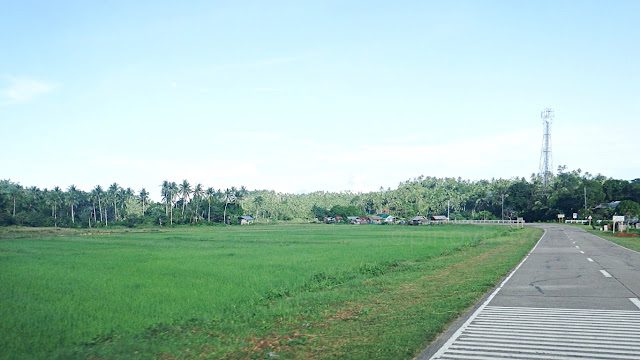
This place does also have wonderful ricefield views along the highway...To be honest, I am not even familiar that a Rosario and a San Jose are towns in Northern Samar. Some towns, I have been to or passed by. All the rest I have heard many times!
Approaching another Y-Junction, a merging traffic. That road comes from Rosario proper.Adding to my bucket list! One of these days, I should go and see this town's poblacion.
No I did not take this pic to capture that manong! I saw another "quarry" (behind him)!As I said above, there are a lot of these here in the northern part of the island of Samar, and I still don't know why. If that is just fine (legally and morally), why don't I see this as rampantly done in other parts of this country? Baka ipinagbabawal? Dito hindi bawal?
The funny thing is... I saw that under that tree on the right, it is also being "quarried"...I really wonder what these extractions are for and why it is rampantly happening only in Northern Samar. If its for constructions, eh bakit, aren't there constructions everywhere?
Teka, wait, before I leave this topic, let me just say again, these are "small time" activities in that everything is crudely manually done by hand. The 'extractors' (I have seen men, women and children - families in all) use just their bare hands armed with shovels, picks or crowbars. Then they load the extracted earth into rice-sacks, delivered to wherever.
Okay, back to the beautiful and fun signs that I love reading - the DPWH road signs!Enriqueta who? Ma! The school is some meters to the right. This is now Lavezares btw!
On this one, I really thought I was in "Arriba" territory haha!Hindi sya Letran! I'm in Samar nga naman, not Mendiola, Bataan, Laguna or Pangasinan!
Malacañang? No, wala nga tayo sa Mendiola eh!
Makati? Pangasinan? No, Lavezares Northern Samar hahaha!
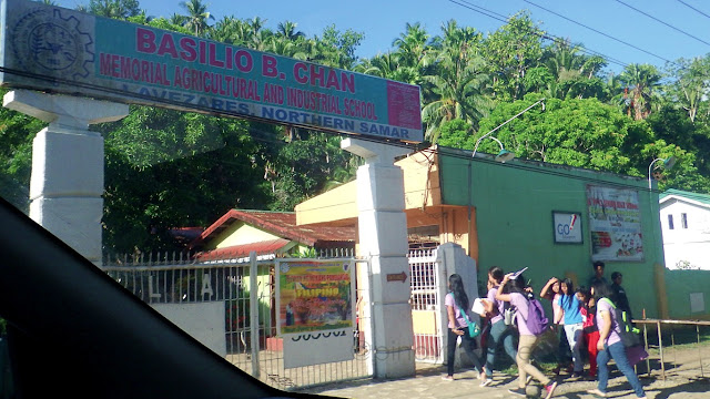
Ah, on this signage, my driver exclaimed "wrong spelling"!
I asked why.., and he said "kulang ng Agriculture"!Complete name is: Basilio B. Chan Memorial Agricultural and Industrial School. So I said "oo nga, wrong spelling an DPWH signboard" hehehe!
And we reached the Lavezares town proper...
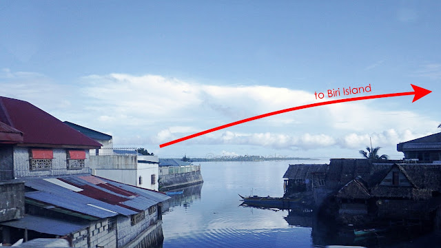
I got a snippet of the sea from the town's Sabang Bridge...Yeah, from somewhere there, on the left, is the town's port, the jump-off point to Biri.
And I was wowed by the big old wooden houses at the town's famous corner...Famous? Yep, and very important! Because somewhere before this, a corner on the right, is the way to the wharf, where people take their boat rides, onwards to enchanting Biri!
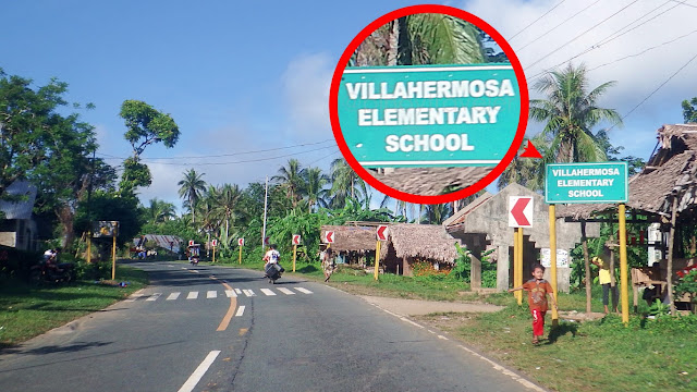
Here's another of those lovely signs made by DPWH...Where is the school? Ah eh... about 2kms to the right from that pedestrian crossing!
Still a beautiful morning...
I smiled and said "whoaaa" when I saw this signboard, and the driver asked why!So I explained that it means London in Spanish, Portuguese, French, AND, even Filipino!
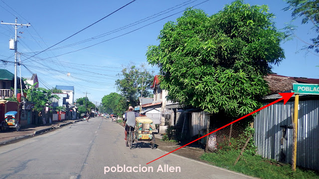
And about 5 minutes after London... I mean Londres, we arrived at Allen town center...Driver asked how sure I was that we were already in Poblacion Allen - I don't know if he was testing me or he was confused because of new developments and this fairly new fork intersection where I said "let's go straight here". That was a timely query because...
We were incidentally passing by an area with this signage... so I said "ayan o"!Poblacion Allen. And I knew my meeting venue, Balicuatro College of Arts and Trades (BCAT), was just a few meters more onwards, left side of road! Haha, Mr. Driver was lost! Because our usual approach to this area is from the other end of town. From Calbayog.
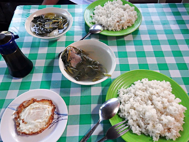
But, it was just a little half past 7AM. I was early for the meeting, decidedly so, because I wanted a "tinola" breakfast! We circled around (I don't know to which part of town) and found a newly built newly opened tuto-turo that incidentally had freshly cooked tinola!The little eatery was/is yet unnamed so I can't tell you. Basta, malapit sa isang puno!
And the rest is history..! Burp!






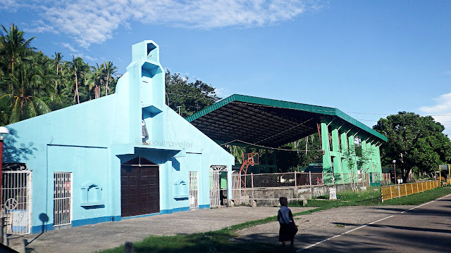




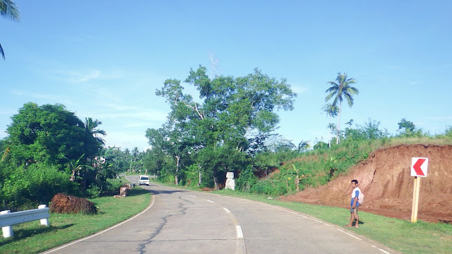
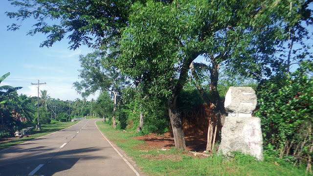

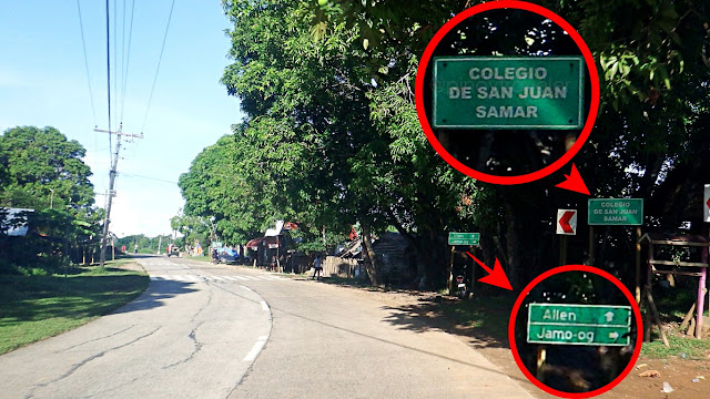
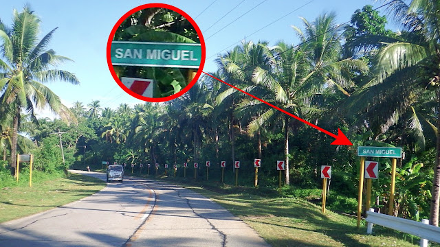







I just want to share an information about the chapel in Brgy. Aguadahan, in San Jose - the one in the picture is a chapel for catholic faithful, while 50 meters away, is a chapel for Aglipayan believers. Both has Saints being displayed in the facade of the chapels.
ReplyDelete