Iligan City Commuting Tour 2
Done with the 'makalaglag-baga' challenge that is Tinago Falls, we proceeded with my unique itinerary. How? Well, the 'commute tour' continued. And you'll see later (below), this just got even more exciting!
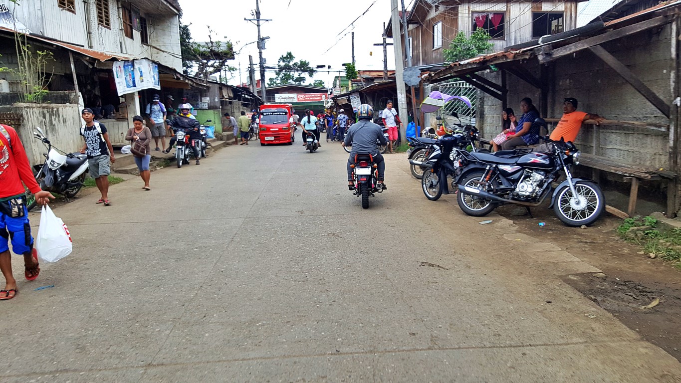
From the "Iligan side" entrance/exit of Tinago Falls, my guide hired 2 habal-habals. They wait just near the little store. There are not so many like at the "Linamon side", but there are even tricycles and jeeps!
This "leg" of our commute was a ride from Tinago Falls to Mimbalut Falls. Oh ha?! Falls nanaman!

And I realized, the route goes out to the national highway, turning south towards Linamon. Again? Da!
But it veers left here, at Brgy. Buru-un, Iligan City, before reaching the boundary (Linamon Bridge).

I imagine, if I was asked 'what's the name of your school'? I think I'll say "Grade 2, Section 9" na lang!
Oist! I am happy to note that I saw a number of e-trikes in this area. May their numbers multiply!

Eh, wala pa kasi e-trike all the way to the waterfall areas eh! Ayan, naka-lusot!
Ah, Mimbalut (also written Mimbalot) isn't far. Only 2kms from that school. Head left if you see this:

But don't be surprised (like I was), that you might encounter what looks like a problem hehehe!

The interesting conveniences of being in rural areas. You can park trucks "howsoever you like"!
And in a moment... road end... park anywhere too! Then enter at right, guarded by two puppies!

What front desk? The guy in-charge roves to collect fees and let you sign their visitors' logbook!

And then... this is Mimbalut Falls. They pronounce it by putting a "mim" before the word "balut".

This waterfall is also tall enough. The caretaker told us, it is about 90 feet (great for photo-ops!).

Note for those who want to swim: there's no natural pool here, where the water drops, unlike at Tinago (there are even rafts). So there's no cliff jumping here. If you do that here, goodbye earth ka, sure yan!
But there are man-made pools (a lot of them, as in ang dami!) that use water from this waterfall.

The surroundings (below and around) Mimbalut Falls are well-developed and well-maintained (I forgot to ask if this is also LGU-managed). Pathways are concrete, and the stairs/steps aren't 'crudely made'!

My take is, of the two waterfalls, Mimbalut is the better place, if you want to have a picnic. It's also the better location if you want to have pictorials by a waterfall, or with a waterfall as the backdrop. Not to mention that Mimbalut is also easier to reach and depart from (di hamak), conveniently at street level.
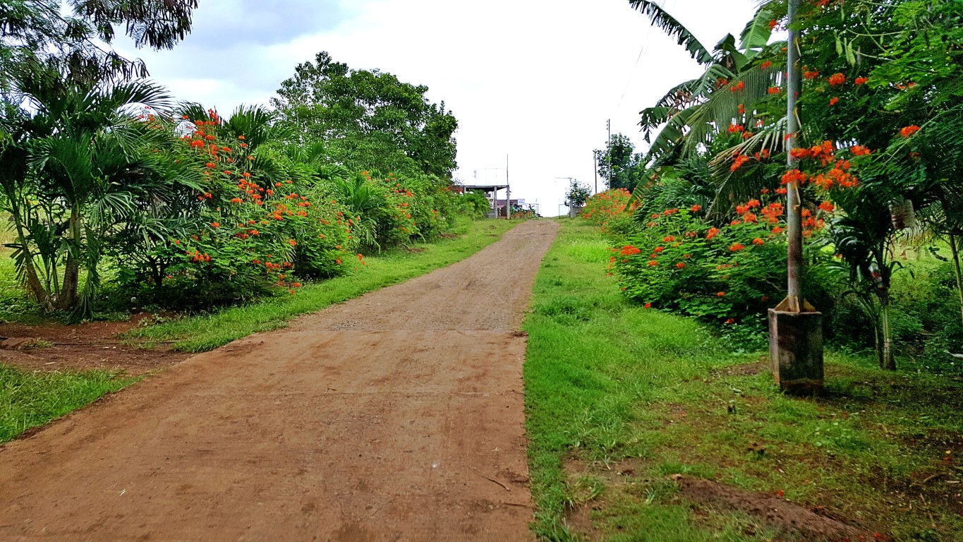
While Mimbalut Falls is at street level, this is still a forest, and there are 'wondrous' things around...

Alright.., after looking around Mimbalut, it was time for lunch on top of a hill! I realized, we rode on the same two habal-habal bikes that we rode from Tinago to Mimbalut. Guide told me it was the 2 drivers themselves who requested for this arrangement, since there weren't so many passengers on this day.
I found it weird, that we seemed to be backtracking to the places we earlier passed, just to reach this restaurant. Well, the guide explained that we still had time, so we went to Mimbalut first, before lunch.

Look, we were turning-right here! That's why I said 'weird', since that's where we came from earlier. But guide explained, we were 'ahead of schedule', thus we went to Mimbalut, before instead of after lunch!

By the way, along these inner roads, most houses are fairly new, but some are big old wooden abodes!

But the signs of our times never cease to amaze me. Like this one, definitely a new learning for me!

Onwards we climbed this 'residential hill', then my driver said we were turning right on that corner.

And turn right we did, to this...
As we approached, all I could think of was "wow, we are going to have lunch in this lovely place"...

Just as I suspected, it's a resort with a big restaurant, perched on a not-so-high hill. Wow!

The views are wonderful up here. You can see much of Iligan Bay and the town of Linamon...

I was surprised to see, that down below is the national highway, with that pedestrian overpass that we have been passing-by many times! At its left end, under the trees is that school with a very long name!
I asked why we seemed to have been "traveling" far and around, when the national road is actually just down below. Our habal-habal drivers told us that it's because we were riding and where we passed are the only streets where wheeled vehicles could pass. They even pointed to me there are walking paths!
Guide also suggested that later after lunch, we can walk via the paths going down. I quckly said "NO"! Then I told old them, "I was just asking, pero wala akong balak mag-lakad uli tulad dun sa Tinago Falls"!
By the way, although this one is on top of a hill, it felt to me like I was at Lin's Kinilaw once again!


Hey, even the food presentation and taste, halos pareho - masarap! And they both say they are "halal"!


There were four of us who had lunch - me, guide and our 2 habal-habal drivers! Why? Wasn't this just a point to point commute? Well, it's like this... when we arrived at this restaurant (drivers surely knew we would go down somehow), so, they talked to my guide saying they'll wait for us. Guide said "ah okay"!
So, bakit sila nasali sa lunch?
Ganito yan... when I went out of the restaurant to take pictures of the surroundings (the flowers, trees, grass etc.), I saw the drivers under a tree, as they waited for us. I asked if they already had lunch. One said "hehehe", while the other said 'after they deliver us'. Nge! So, I invited them to have lunch with us.
Of course they initially declined and hesitated! That is how we Pinoys are, right? But I insisted, so they came to the lunch table with me. And the guide (who must have been watching me), had the presence of mind to ask staff for more food. Ayan, that's why our table looked like so! Wala pa ang prito manok!
Let me clarify: I'm not (yet) a reckless philanthropist who always has resources to share left and right. Aba, minsan "hand-to-mouth" din ako hoi! But, I think I already mentioned this in previous blog stories, that if there is someone who can't be hungry on a trip, it is the driver/pilot/skipper. Mahirap na, aba!
Mahilo, sumuray, mamilipit yan.., damay lahat! You want?!
That's a maxim we travelers should always live by. If we have a way of knowing/checking, we should, and if we have a way to prevent that, we should. Not pagba-bait-baitan, but ensuring personal safety.
After that hefty lunch, as agreed still on board the habal-habals (aba eh pinakain na namin sila hehee), we proceeded to our next stop which was just about a kilometer away. But, after I took these pictures:


She told me though, to take as many photos as I could, since the next time I come by, everything may already become different. She said she heard from business insiders that this place is to be spruced.

Okay fine! Then we proceeded to the next stop in our itinerary, the Macaraeg-Macapagal House.

Do you (by the way) know, or have you heard about the significance of this place? Obvious di ba?

Second wife? Yes. His first marriage, in 1938, was with Purita Dela Rosa, who died in 1943 after about only 5 years of marriage. But they had 2 children, Cielo (was/is politician) & Arturo (was an olympian)!
He then married Dr. Macaraeg (1946) and they had two children, Gloria and Diosdado Jr. We could say that this house had been their "ancestral abode" since it was only built in the 1950s (he was already a congressman). In fairness therefore, mali 'ata ang paratang na minana lang nila ito sa Macaraeg side.
Me pera na rin si Diosdado noong mga panahon na iyon. He was already congressman eh!
Now... mao kamao mag-binisaya ang gamay'ng babaye ex-president ninyo kay diri sya kada summer!

How did I know? I tried standing there. Konti na lang kasya na ako hahaha! Yes, visitors can enter that playhouse, if and in case you can fit on that narrow doorway. I did! Well, it is just a doll house with sala kunohay and a cute little bed -I think kasya pa sya even today! Otherwise nothing much to see in there.
The real house is worth a look though. It's modest. I mean, not as loud as present politicians' houses!

Here was his (Diosdado Macapagal) desk nameplate when he was vice president of the republic...

Akala nyo si Imelda lang ang meron fancy paintings? Eto nakita ko sa wall. Kayo na humusga hahaha!

No label, walang nakasulat, so we don't know kung bigay ito ng kung sinong poncio pilato hehehe!

This dining table in the dining room also looks modest (circa 1950s to 1960s style/culture)...

Maliit lang, good for 8 people. From the foyer, it humbly looks like this...

But when you turn around. Yes, pag-talikod mo, madami pang dining tables din hehe! New addition?!

I saw this slab by the porch. Caretaker told me it was placed there by NHI many years ago.

In Philippine social protocols (me ganun ba? yes meron, sabi ko), o sige na nga social norms na lang, where the names (lalo na pag surnames) of a couple must be written, that of the lady, the woman, the babae is always ahead than that of the man. An example would be 'when you write these in a wedding invitation'. That's to show gallantry, love and adoration of the man and/or his family, to his 'better half'.
Even that phrase "better half" is another example. Laging una sa billing si wife or girlfriend - kahit na at kahit pa presidente si lalaki (Macapagal). So una dapat ang Macaraeg, since si Dr. Eva ang maybahay.
Parang duda na ako sa historical marker na yan. Hindi kaya nag "hello Garci" yan?
Then it says declared a heritage house by the National Historical Institute 14 August 2002. But at the top of the slab, the logo says 2005! Anon'g date yan? The date the historical marker was installed? Ah, whatever! Declared in 2002, marker made 2005. Why only now, during Gloria's reign? Hm, dictated by?
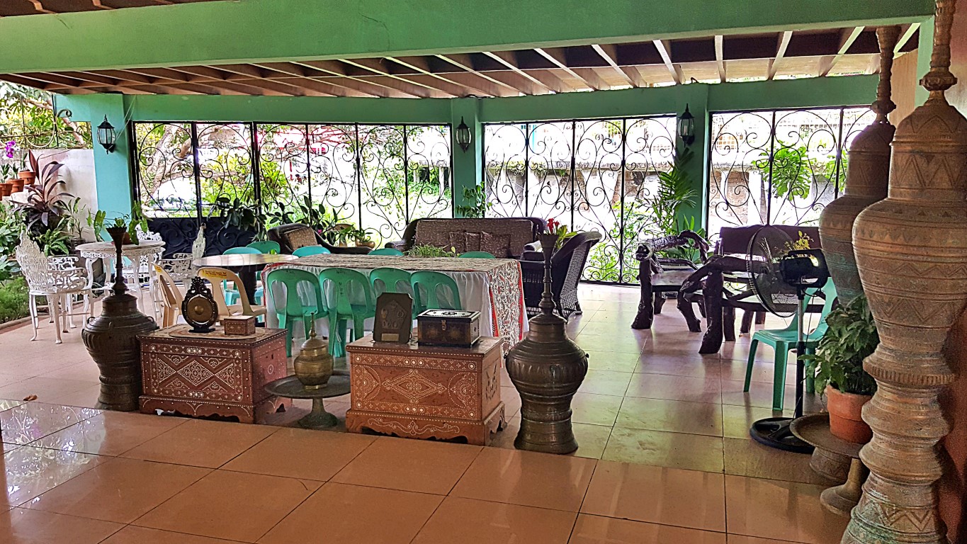
Anyway, still in the compound but on the other side of the grass I saw this 'function hall' or something.

Just a note: all sides around this "ancestral home", except for the highway, are spring resorts!
Anyway, I think I saw proof (if this can be proof enough) that this is owned by the city government:

Oh there's no entrance fee, donation box lang. And you write your names/addresses on this logbook!

Okay, enough! Whether it's historical or not, at least I have seen another nice big old wooden house!
And my "commute tour" continued! We took a jeep from Macaraeg-Macapagal house to city center.

This is still Brgy. Buru-un. A resort town? No wonder, I thought in the morning this was another town!
Onwards, I saw a giant ball by the roadside. It looked too big for a toy, yet too low to be a water tank.

She went on telling me, that it was an amonia storage tank of a fertilizer company that is not anymore being used, so it will soon be demolished. That "ball" is a famous landmark, not only among Iliganons, but even to those who live south of the city, like Lanao Del Sur, Maguindanao, even Zamoanga Del Sur.
The ball is purportedly called with so many creative names, but majority call it "Mars"!
I commented that the area we were passing-by seemed to be an industrial zone. She then told me, we were in a very progressive industrial side of the city, with big companies like NPC's Geothermal Energy Complex, the NGCP, National Steel Corporation, chemicals and other similar or related industry giants.
Wow! She also asked if I have heard about Camp Overton. I said no, and she told me that it was a vast American military base (Camp Overton Military Reservation) in Iligan, and we were actually passing by that vast area, converted to residential or industrial estates, although the name "Overton" still remains.
Hmm, I think I haven't encountered that in my history classes from kinder up to college! It was only on this day that I heard of a Camp Overton. Thus, your humble PT (yes ako yan) had to do more research!
Here's a quick summary of what I got:
1900: it was established as a military detachment.
1901-1903: used as the base of American operations during the Moro War.
1904: expanded and became a permanent US Army base.
1914-1918: used as a training base for US troops during World War I.
1941-1945: used as a staging area for US troops during World War II.
1946: turned over to the Philippine government (Philippine Independence).
1952: decommissioned as a military base and converted into an industrial park.
This was also the location of a major American military hospital during World War II, and it was called Camp Overton Station Hospital, where it treated thousands of wounded soldiers from the Pacific War Theater. It was closed after the war, but buildings still stand today and are used by various businesses in the industrial park. Hmnm, I wish the city tourism office would show the buildings to us the curious!
Imagine that, I was learning so many histories, even while just commuting on a jeep!
Now the exciting part!
As the jeep rolled along towards the city center, my guide said we were ahead of schedule for our next stop which was the Iligan City Hall. And she asked "why not we ride the tartanilla now, since we would be passing by the street anyway"? Eh ako pa? I did not even think about it. I immediately said "GO RA"!
Hah! After we got off the jeep near a public market, I was looking at this seemingly wearied animal.

I knew instantly this was going to be a hilariously fun ride. That white horse was next to us.

This was the front view from the royal coach tartanilla ride of my royal highness!

But I must say this... it is easier to take pictures "facing back" - where the Tartanilla just passed!

Well, my tour guide suggested I face front since she was describing things that were in front of us nga naman. But I pressed the wrong buttons on my phone, and accidentally took a video. just a short one!
I have to admit, I think what attracts me to this mode of transport is that hypnotic click-clack sound.
Crossing the Tubod River via the Tambacan Bridge, and we were meeting other Tartanillas...

Hindi ako sadista... but I also loved this scene where virtually everything was on the street...

Now the even more exciting part... on the return trip from Brgy. Tambacan, we still rode the Tartanilla!

Hah, that should be what I can call trip lang!
By the way, before we ended our ride, I saw another beautiful-looking big vintage wooden house!

So... done with the Tartanilla, we hopped unto a jeep again, this time going to the Iligan City Hall.

We reached the city hall fast. I think it's just the other end of Badelles St. where we rode the Tartanilla.

Tour guide suggested we walk around, I agreed. Malay ko ba na hihingalin pala ako dito!

It's indeed a beautiful place. Buildings and amenities wrap around the hill, with the city hall itself up at the apex. But, I think I got too carried away by the sceneries and forgot my age, such that, when guide suggested we walk going up, I agreed! Oh gino-o ko, 400 to 500 meters going up kah kah kah hingal ah!
At one side of the road, there's a good view down to their Anahaw Amphitheater - which looks good.


My guide told me sir, punta kayo doon sa baba ng phrase na Iligan City pipicturam ko kayo. I said "no"!

Behind me as I took the pics above was the enormous Legislative Building, but we had to walk more!

And I finally reached the goal of this leg of the commuting tour itinerary hahaha! The Iligan City Hall!

As we sat to breathe in this mala--highlands-park environment of the City Hill (yes hill, not hall hehe), my tour guide peppered me with many more amazing facts, figures, stories and histories about Iligan City. I took notes, even recorded a few sound clips, and will try to write some, or all of them here soon.
But the better truth and reality must prevail... we had to walk back to catch another jeep ride, jusko!

Eh ano pa nga ba, we walked to where the jeeps pick passengers. But before that, she said my hotel is just about a block away, we still had time, if I was still up for it, we could hop to a place called "Paseo".
Hmm, my tanders mental and physical stamina was being challenged! I said let me think...
Wheh, this has been too long a story na. Let's do all of that later!
Itutuloy!


Comments
Post a Comment